WA Blueprint Priorities for Marine Research Under Review

Western Australia’s Blueprint for Marine Science is undergoing a five-yearly review by the Western Australian Marine Science Institution to assess and update research priorities that may have changed under current economic and environmental forecasts.

The aim of the Blueprint is to support future decision making by providing evidence-based scientific support that recognises the needs of Western Australia’s marine industries, managers, regulators and the wider community.

First published in 2015, The Blueprint identified more than 100 sector-specific knowledge gaps through a comprehensive program of stakeholder engagement. The initial science priorities were also consistent with the science community led National Marine Science Plan.

CEO Dr Luke Twomey said, as custodians of the Blueprint, The Western Australian Marine Science Institution (WAMSI) will revisit the Blueprint to maintain an understanding of the ongoing marine research priorities in Western Australia.

“Over the past five years WAMSI and other organisations have made great inroads into meeting priorities listed in the 2015 Blueprint,” Dr Twomey said. “Most notably, Western Australia has come a long way toward developing the future of shared data platforms, including the development of the Index of Marine Surveys for Assessments (IMSA) portal. Now, given major disruptions to regional, national and global socio-political drivers, we expect to observe a shift in the priorities and focus across the different sectors.”

Over the coming weeks WAMSI will revisit stakeholders across the different marine sectors in WA to discuss and document whether the previously identified priorities are still valid or if they have changed.

“What we want to learn from industry, environment managers and regulators is, what has changed for them over the past five years, what marine research areas are important to them now, and how marine research can help improve confidence in the decisions they need to make about the shared marine environment,” Dr Twomey said.

The outcomes are expected to be released in a report by mid-2021.

To Bait or Not to Bait: Remote Underwater Video Surveys of Juvenile Fish

A new study comparing the efficiency of baited and unbaited remote underwater stereo-video to survey juvenile fish populations has found no significant difference between the two methods.

Juvenile fish are a particularly important group to monitor and understand given the high social, economic, and ecological value placed on adult fish populations.

Driven by their need for shelter from predators and environmental stressors, juvenile fish are often found in habitats which are difficult to sample other than by diver surveys. In the Kimberley however, diver surveys are impractical given the dangerous tidal conditions and the presence of crocodiles. Divers surveys have also been linked with a change in fish behaviour.

As part of the Western Australian Marine Science Institution’s (WAMSI) Kimberley Marine Research Program, a team of scientists from The University of Western Australia (UWA), The Australian Institute of Marine Science (AIMS) and the Kimberley Marine Research Station compared the use of baited and unbaited remote underwater stereo video systems (BRUVS and RUVS). The study took place in the Iwany (Sunday) Islands group with guidance from the Bardi Jawi Rangers and Traditional Owners.

Stereo-RUVS use two cameras on a frame that is lowered onto the seabed to record fish movement. The two cameras enable lengths and distance measurements to be made using specialised software.

Lead author UWA PhD candidate Camilla Piggott said the results, published in the Journal of Experimental Marine Biology and Ecology suggest both methods can effectively produce the same result.

‘’What we found was that there was no difference in the ability of stereo-BRUV or stereo-RUV to quantify the relative total abundance, species richness, or assemblage composition of juvenile fish,” Camilla said.

Sixty Stereo-RUVs and 60 Stereo-BRUVs samples were taken across four shallow-water (1-6 metre) coral, mangrove, macroalgae, and seagrass habitats to contrast the effect of the presence or absence of bait, deployment period, in-water visibility and tidally driven water speed.

“We found that a deployment period of 10 minutes for Stereo-BRUVs and 15 minutes for Stereo-RUVs was optimum for sampling the juvenile fish assemblage across all four contrasting habitats,” Camilla explained. “Since no statistical significance was observed between 10 and 15 minutes, we recommend that Stereo-RUVs deployed for 15 minutes during tidal slack water conditions are an optimum way to provide consistent results for comparisons of juvenile fish assemblages across the habitats studied in this region.”

Dr James Gilmour and Camilla Piggott deploy a Remote Underwater Video System at the Iwany (Sunday) Island group in the western Kimberley

Dr James Gilmour and Camilla Piggott deploy a Remote Underwater Video System at the Iwany (Sunday) Island group in the western Kimberley (Photo: AIMS)


Citation: Piggott CVH, Depczynski M, Gagliano M, Langlois TJ (2020) Remote video methods for studying juvenile fish populations in challenging environments. Journal of Experimental Marine Biology and Ecology, doi.org/10.1016/j.jembe.2020.151454

The $30 million Kimberley Marine Research Program was funded through major investment supported by $12 million from the Western Australian government co-invested by the WAMSI partners and supported by the Traditional Owners of the Kimberley.

Phytoplankton Proves its Carbon Capture Capability in Extreme Environments

A new study has found that phytoplankton, the microalgal powerhouse plants of the sea, are able to change their physiology and continue to uptake and store carbon despite the extreme tidal movement and dynamic light conditions in the Kimberley.

If there’s one thing that the Kimberley marine environment can teach us, it’s the best way to live in an extreme environment, according to CSIRO’s James McLaughlin, lead author of the latest paper on Phytoplankton Light Acclimation to Periodic Turbulent Mixing Along a Tidally Dominated Tropical Coastline published in JGR Oceans.    

The study in King Sound, which is a 100‐kilometre‐long, semi-enclosed embayment opening to the Indian Ocean, was conducted by researchers from CSIRO and The University of Western Australia as part of the Western Australian Marine Science Institution’s (WAMSI) Kimberley Marine Research Program.

It reveals that despite low nutrients and decreased water clarity in areas of the Sound, phytoplankton were able to photosynthesise as if it were in a high light exposure environment. On the adjacent shelf however, the roles reversed, phytoplankton migrate deeper and acclimatise their photosynthetic strategy to a lower light environment, enabling them to reach available nutrients at depth.

“King Sound experiences very large variations in light over short time scales, and we found that the phytoplankton community there was dominated by diatoms, a microalgae that can rapidly adjust pigment within the cell to acclimate to water column light conditions,” James McLaughlin said.

“What this does is allow higher maximum photosynthetic rates to be attained by the phytoplankton which are trying to live in a region with extreme tides, in an environment that is constantly changing from deeper turbid and dark waters to shallow more light exposed ones,” James said.

Tides help to redistribute phytoplankton and nutrients and this in turn influences their population and community structure within marine ecosystems. It is important to better understand the impact of tidal mixing on the ability of phytoplankton to capture and store atmospheric carbon dioxide in these dynamic coastal areas.


The $30 million Kimberley Marine Research Program was funded through major investment supported by $12 million from the Western Australian government co-invested by the WAMSI partners and supported by the Traditional Owners of the Kimberley.

Webinar: The Value Provided to Fisheries by Man-made Aquatic Structures

In 2019 the Fisheries Research and Development Corporation funded research which aimed to increase the understanding of the social and economic values of man-made marine structures. In Western Australia we conservatively estimate that there are at least 6000 man-made structures in the marine environment. These include shipwrecks, jetties, marinas, harbours, seawalls, boat ramps, navigation aids and markers, tide stations, artificial reefs, oil and gas platforms, wellheads and oil and gas pipelines.

Man-made marine structures are inhabited by a diverse array of marine life, and are used by recreational and commercial fishers, scuba divers, snorkelers and tourists. As a consequence, these structures have a range of economic and social values reflecting the different user groups.

This webinar provides an overview of identified economic and social values associated with different types of structures and discusses the issues and opportunities associated with people’s values and perceptions. This information will be of use to regulators, proponents and other stakeholders who have an interest in the social and economic values of existing and potential man-made marine structures.

Order of Speakers

Dr. Luke Twomey                            Welcome

Prof. Euan Harvey                           Project overview and introduction

Dr. Johanna Zimmerhackel          Economic value

Dr. Julian Clifton                             Social values of individuals

Prof. Fran Ackermann                   Group social values

Prof. Euan Harvey                          Discussion and implications


More information on the project can be found at: www.frdc.com.au/project/2018-053

Attached files:

 Enhancing the Understanding of the Value Provided to Man-made structures_ WAMSI_FRDC Slides.pdf

Kimberley Indigenous Rangers put up a united voice to manage and protect saltwater country

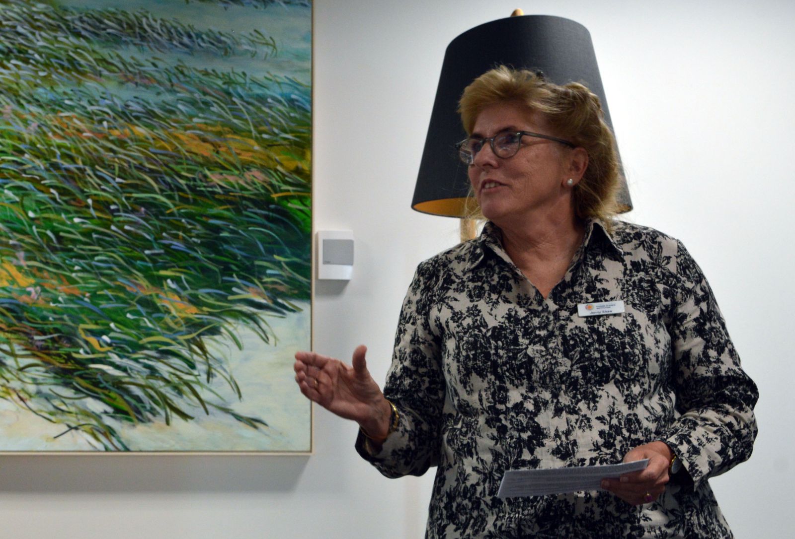
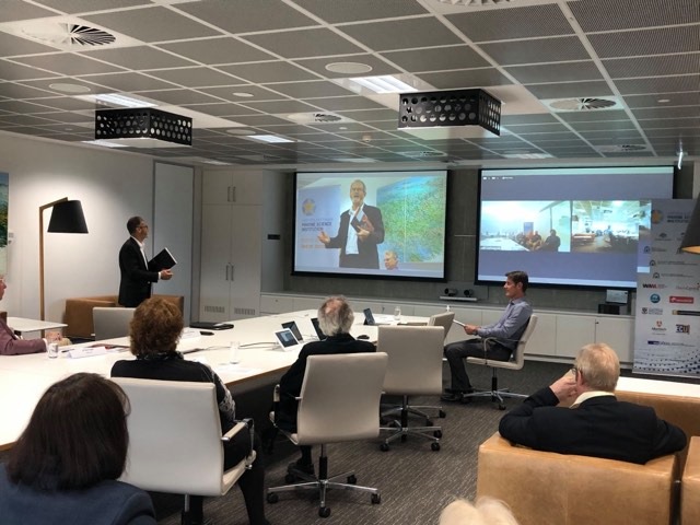
Kimberley Indigenous rangers and marine scientists met last week (Tuesday 1st – Thursday 3rd December 2020) at the annual Indigenous Saltwater Advisory Group (ISWAG) forum in Broome.

ISWAG is an Indigenous-led and facilitated saltwater forum for the Kimberley. It includes members from nine saltwater Prescribed Native Title Body Corporates (PBC’s); Balanggarra, Wunambal Gaambera, Dambimangari, Mayala, Bardi Jawi, Nyul Nyul, Yawuru, Karajarri and Nyangumarta, which represents traditional owner groups across 90% of the Kimberley coastline. ISWAG was created to support Kimberley saltwater managers to implement their Healthy Country Plans through collaborative research, policy and management.

Throughout the three-day forum, the group shared Indigenous knowledge and pair it with cutting edge science to enable best practice saltwater management to ensure the long-term sustainability of marine species in the Kimberley. The forum is recognised by scientists from state and federal agencies and institutions as a key advisory body about saltwater knowledge and management issues across the Kimberley.

A key outcome from the 2020 forum, was the tabling of an Indigenous led 10-year turtle and dugong management plan for the entire Kimberley region. The plan, funded by Parks Australia and the Department of Biodiversity, Conservation and Attractions (DBCA), lays out the framework for an integrated western and traditional research approach to all aspects of turtle and dugong management and conservation in the region. It builds on decades of foundational work done by Indigenous and non-Indigenous marine scientists and managers towards the long-term sustainability of dugong and turtle populations in north west Australia.

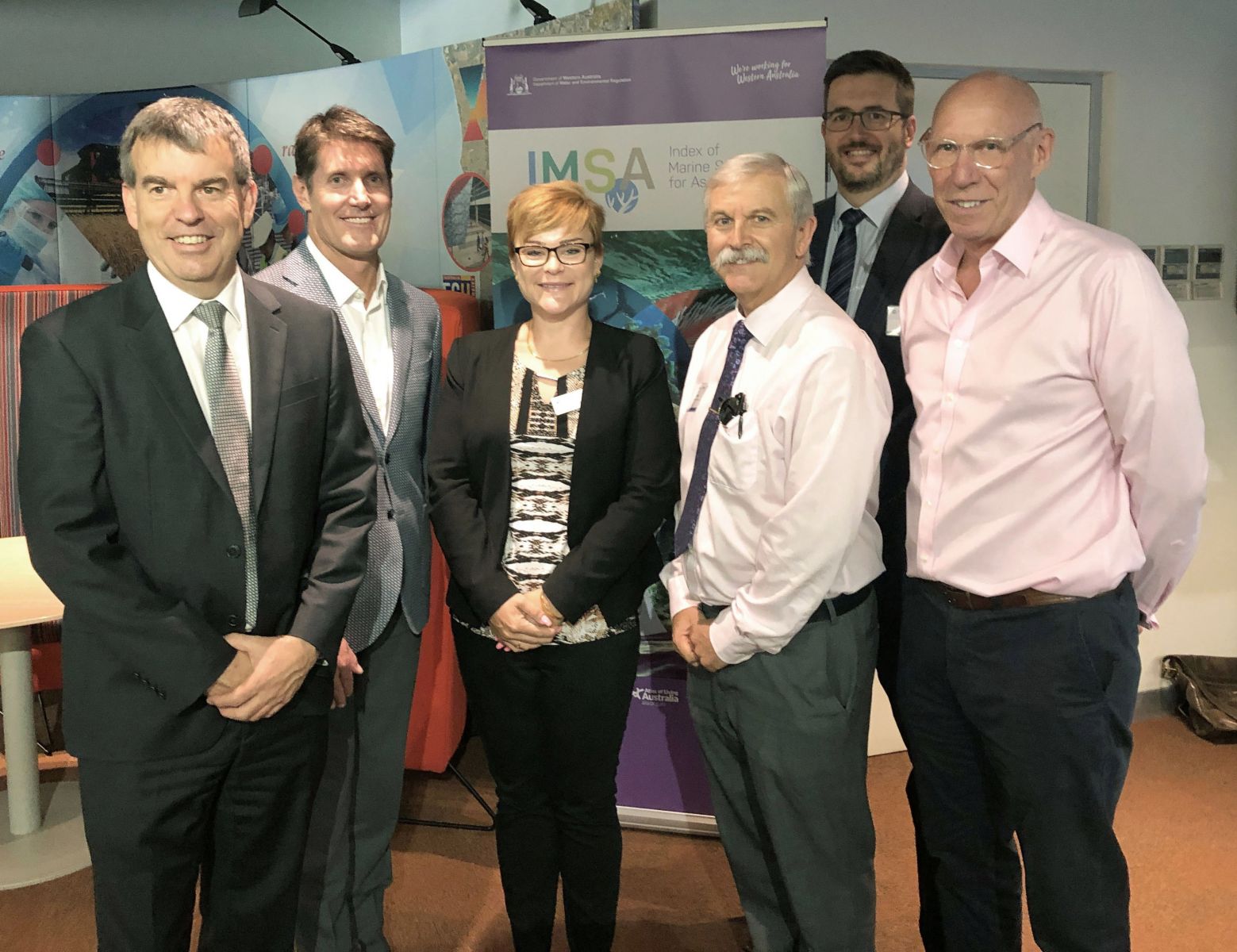
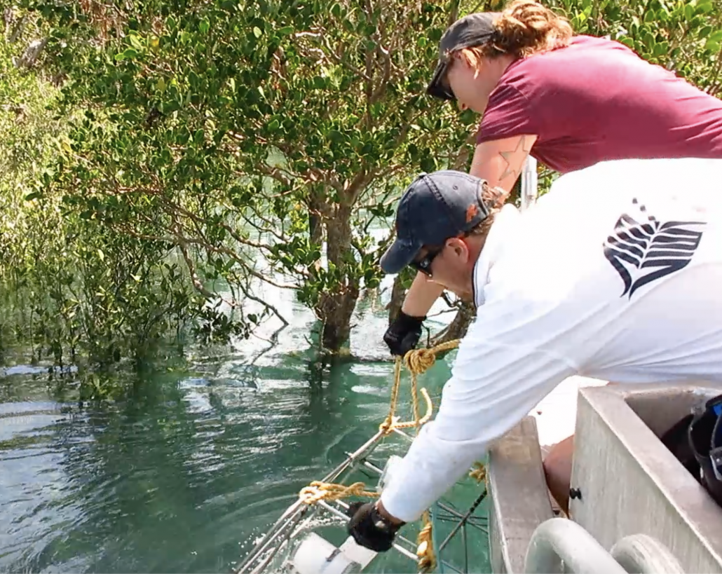
At the forum, western science partners from the Australian Institute of Marine Science (AIMS), DBCA, Commonwealth Scientific and Industrial Research Organisation (CSIRO) and Department of Primary Industries and Regional Development (DPIRD) specialising in turtle, dugong, fish and saltwater habitats, co-presented the results of recent marine science projects.

The Western Australian Marine Science Institution (WAMSI) also presented preliminary findings from a review of the processes and protocols for scientists working on saltwater country developed with ISWAG.

__________________________________________________________


Wunambal Gaambera Aboriginal Corporation (WGAC)

Desmond Williams, Uunguu Ranger, (WGAC), explains what they are doing on Wunambal Gaambera saltwater country to protect and monitor marine species.

We went out on our wundaagu (saltwater) in a small plane to look at the turtle tracks from flatback turtles and hawksbill turtles, and we share the results with this ISWAG group to get a better understanding of what turtles are doing across the whole Kimberley.”

We also did a survey of the marine threats such as fishing line debris, ghost nets and also look at where they are laying eggs and some of the threats, we have like dingoes eating the eggs on some of our islands.”

This group is really helpful. We need to build our skills to manage our wundaagu. We get to learn a lot from the other ranger groups and scientists. It is really good for us Wunambal Gaambera people to be sharing our knowledge on the same level as the other ranger groups in the Kimberley.”

For Wunambal Gaambera people, mangguru (marine turtles) and balguja (dugong) are important cultural foods especially for cultural gatherings.

We have hunted mangguru and balguja for generations and they are part of some people’s dreaming.

We know when a turtle is healthy by the shoulder fat. Our old people used to travel a long way by raft or canoe to outer islands to collect Amiya (turtle eggs) and survived on Amiya when they had no water.”


Nyamba Buru Yawuru (NBY)

Dean Mathews, Senior Project Officer, NBY, talks passionately about managing turtles and dugong on Yawuru Nagulagun Buru (Yawuru Sea Country) and why it is important to protect turtles on Yawuru country.

“If we are talking about the well-being of Roebuck Bay, protecting turtles and dugongs is very high on the priority for Yawuru people because of what those resources have provided for us for thousands of generations and we want to ensure the next generation have that to enjoy. It is a fundamental part of who we are,” explained Dean.

A lot of our turtles for example the green turtle, do not have nesting sites here.

Our rookeries (or nesting sites) are under a lot of pressure due to climate change, fishing, sea nets, plastics and hunting and so, as country managers we have to look at how the rookeries are sustaining them and what we need to do to look at the hunting aspects and frequency of take to protect our rookeries for future generations to enjoy.”

Working collaboratively, we are all accountable and we, the Traditional Owners who have lived on and interacted with turtles and dugongs for many generations, want to be a part of the higher-level conversation and policy at the Commonwealth level in regard to planning and managing these species. ISWAG provides this opportunity for a united voice from Kimberley Ranger groups.”


Bardi and Jawi Niimidiman Aboriginal Corporation

Kevin George, Senior Cultural Advisor, Bardi Jawi Rangers spoke about the value of coming together.

“We have a duty of care and obligations and one of the major reasons we come together is to protect cultural customs, traditions, livelihoods, the whole works.”


DBCA

Dr Scott Whiting, Principal Research Scientist, DBCA said:

“Collaborative work is extremely important for long term conservation, especially for long lived animals with complex life cycles like turtles and dugongs.

Each group of Traditional Owners, managers, scientists and policy makers bring different skills, knowledge and impact to conservation outcomes. Collaboration is the only way for long-term management.”


Western Australian Marine Science Institution (WAMSI)

Dr Kelly Waples, Kimberley Marine Research Program Science Coordinator, (WAMSI), presented preliminary findings from a review of the process and protocols for scientists working on saltwater country developed with ISWAG.

The review is based on surveys with researchers, Healthy Country managers, Indigenous organisational staff, Traditional Owners and government staff who have worked through the steps outlined in the Collaborative research on Kimberley Saltwater Country – Guide for Researchers.

“The Kimberley is leading the way in encouraging western scientists to consider how they can collaborate with Indigenous rangers to address important outcomes for Healthy Country Plans,” Dr Waples said.

“This review will give ISWAG a better idea of how the process is working for the saltwater groups, researchers and government agencies so that ISWAG can consider any improvements that could lead to better results for the Kimberley.”


Acknowledgements

The forum was made possible through the contributions of all ISWAG parent PBCs and funding from the Kimberley Land Council, AIMS, Nyangumarta Warrarn Aboriginal Corporation, WAMSI, the National Environmental Science Program’s Marine Biodiversity Hub, DPIRD and DBCA.


Category:

Kimberley Marine Research Program

Best Practice Guideline for Dredge Plume Modelling

CSIRO has released a new guideline that provides current best practice for dredge plume modelling in the context of Australia’s Environmental Impact Assessment processes.

The practical guideline aims to ensure that approaches taken in setting up and executing models are more consistent and improve confidence in decision making by environmental regulators that will also lead to reduced management costs for major dredging programs.

The Guideline on dredge plume modelling for environmental impact assessment takes into consideration the findings of five years of intensive studies through the Western Australian Marine Science Institution’s Dredging Science Node to help predict the intensity and extent of potential impacts on marine habitats from dredge-related pressures.

Lead author of the guideline CSIRO’s Dr Chaojiao Sun explained modelling dredge plumes is challenging and complex.

“Large-scale dredging campaigns that typically require the excavation of millions of tonnes of soil or rock material from the seabed are essential components of major port construction and deepening projects,” Dr Sun said. “Dredging activities suspend sediment into the water and some of these sediments are then kept in suspension by coastal currents as they are carried downstream, resulting in horizontally spreading dredge plumes. The suspended sediment content in these plumes can reduce the amount of light reaching the seabed. In areas where currents (bed stresses) are low, the plume sediments are no longer able to remain in suspension, and bed deposition occurs. These are two examples of dredging-induced environmental pressures that may induce potentially widespread ecological impacts in sensitive seabed marine communities including coral, seagrass and sponges.”

To date, debates and inconsistencies in how the modelling is undertaken for environmental impact assessment (EIA) have been driven by a lack of standardised methods for predicting dredge plume dispersion and the potential effects on the environment.

The CSIRO guideline focusses on establishing a consistent and sound approach to the modelling of dredge plumes for predicting the pressure fields when seeking EIA approval.

“This will help improve the quality and robustness of decisions by environmental regulators and proponents by providing recommendations on modelling strategies and addressing specific issues around modelling,” Dr Sun said.

Dr Paul Branson, who led the modelling and analysis that contributed to the guideline, hopes that important model design decisions can be informed by the advice given.

“It is important that the site specific circulation and sediment transport processes are considered within a framework that objectively guides the development of a modelling strategy that captures the key physical processes that govern the plume spreading, settlement and resuspension,” Dr Branson said.

Co-author Dr Des Mills said that the Guideline addressed current best practice in dredge plume source term estimation.

“Source terms are an essential input to dredge plume models and can vary significantly from one dredging operation to another,” Dr Mills said.


The Guideline strongly recommends establishing a public database to support dredge plume modelling and that all relevant data be made available. The database would greatly improve the availability of reference information at the EIA stage, assisting both those responsible for the EIA preparation and those responsible for interpreting and approving the dredge activity.

The CSIRO dredge plume modelling guideline is intended as a point of reference rather than a rigid standard. It’s hoped it will provide increased confidence in modelling outcomes, leading to a reduction in the monitoring and management burden required by regulators and increased transparency and public confidence in the EIA process.

An information webinar was held on 11 December, 2020. The recording of this webcast is now available via the following link: https://webcast.csiro.au/#/videos/a3cc1634-95ca-402e-a639-daa63ab7cfc8

The Guideline and Fact Sheet are available HERE


The WAMSI Dredging Science Node is made possible through $9.5 million invested by Woodside, Chevron and BHP as environmental offsets. A further $9.5 million has been co-invested by the WAMSI Joint Venture partners, adding significantly more value to this initial industry investment. The node is also supported through critical data provided by Chevron, Woodside and Rio Tinto Iron Ore.

Category:

Dredging Science

Saving Shark Bay (Gathaagudu) Seagrass from Climate Change

Two ground-breaking seagrass projects have been awarded Commonwealth funding through the Australian Research Council (ARC) to test the ecosystem resilience of the UNESCO World Heritage site, Shark Bay (Gathaagudu), under a changing ocean climate.

Scientists throughout WA and the world have been rallying to raise the alarm about the demise of this unique environment and popular tourist destination (800 kilometres north of Perth), which has been experiencing environmental changes more rapidly since a marine heatwave in 2011.

A project led by the University of Western Australia (UWA) Professor Gary Kendrick has been awarded $517,000 over three years to continue research to test whether seagrass ecosystems can be safeguarded from climate change impacts by improving genetic connectivity in heatwave affected areas using innovative genetic rescue approaches.

“The project will generate new knowledge on how seagrasses can adapt and survive in situ,” Professor Kendrick said. “We expect to be able to improve conservation, management and restoration practices for seagrass meadows. This should provide significant benefits for long-term resilience of this economically and culturally significant ecosystem.”

Another ARC funded project will test the ecosystem resilience of the Shark Bay World Heritage Site to projected climate change. The research, led by UWA Dr Matthew Fraser, received a $324,000 ARC Linkage grant in addition to $90,000 in cash and $359,400 in-kind from partner organisations: Bush Heritage Australia; and Department of Biodiversity Conservation and Attractions.

“This project will generate new knowledge for marine conservation through analyses of habitat loss on nutrient budgets and productivity in seagrass and stromatolite ecosystems,” Dr Fraser said. “This research will improve our understanding of climate-driven shifts on ecosystem processes in Shark Bay, incorporating science-based evidence for better conservation and management. This will contribute to future-proofing Shark Bay’s World Heritage values, and more broadly demonstrate the consequences of the continued tropicalisation of Australia’s coastline.

Both projects will feed into a comprehensive plan to respond to environmental pressures facing the Shark Bay World Heritage site led by the Western Australian Marine Science Institution.

Gaarragoon Guardians – Bardi Jawi Sea Country

This short documentary film tells the story of two-way learning between scientists and the Bardi Jawi Rangers who have been monitoring the fish and coral reef to manage the health of sea country on the Dampier Peninsula.

This two-way learning started 10 years ago with the Western Australian Marine Science Institution’s (WAMSI) Kimberley Marine Research Program (2012-2018) to develop an understanding of how fish, coral and seagrasses sustain the health of the Kimberley marine ecosystem.

When researchers from the Australian Institute of Marine Science returned to Country with some of the results, they found the rangers had a few questions of their own that they wanted answered.

A monitoring program was developed and what we have filmed is a field trip for the Bardi Jawi/ Bardi Jawi Oorany rangers and the Australian Institute of Marine Science monitoring partnership in August 2020.

The Rangers tell their story of working with scientists to monitor the health of their sea country.

This is a Western Australian Marine Science Institution and Australian Institute of Marine Science production in collaboration with the Bardi Jawi, Bardi Jawi Oorany rangers and the Kimberley Land Council.

Filmed and edited by Sam Frederick

Category:

Kimberley Marine Research Program

70 Years of Marine Research in Shark Bay: Ecological, Social and Economic

A new report launched by the Western Australian Marine Science Institution brings together the last seven decades of marine research on Shark Bay to create a valuable resource that describes what has been learned to date about one of the world’s most unique and vulnerable marine environments.

A Snapshot of Marine Research in Shark Bay (Gathaagudu): Literature Review and Metadata Collation (1949-2020) was released at a virtual launch between Perth and Shark Bay.

At the launch in Perth, Western Australia’s Chief Scientist Professor Peter Klinken was joined by co-authors WAMSI Research Director Dr Jenny Shaw and Dr Alicia Sutton along with representatives from the Department Biodiversity, Conservation and Attractions (Parks and Wildlife) and the Department of Primary Industries and Regional Development (Fisheries).


WA Chief Scientist Professor Peter Klinken addresses attendees at the virtual launch 


The event crossed to Denham where Professor Gary Kendrick from The University of Western Australia handed the report to Malgana Traditional Owners and Malgana rangers in the spirit of returning western science knowledge to Country.

(L-R) Shark Bay Shire CEO Paul Anderson listens in as UWA Professor Gary Kendrick hands the Report over to Malgana Traditional Owner Bobby Hoult and Malgana rangers Alex Dodd, Richard Cross, Klaas Liezenga and Sean McNeair in Denham.


In total, 775 pieces of literature and more than 960 metadata entries are listed in the publication. It will inform a Science Plan being developed by the Western Australian Marine Science Institution (WAMSI) as well as contribute to a better understanding of the Shark Bay marine environment.

The review reveals that the opportunity to study unique indicators of environmental health and impacts from change has attracted a worldwide focus on Shark Bay over the years, according to co-author WAMSI Research Director Dr Jenny Shaw.

“Shark Bay is special for many reasons but the fact that it is in the transition zone between temperate and tropical zones means it’s like the ’canary in the coalmine’,” Dr Shaw said. “It’s an environment that we know from the past 70 years of research is undergoing massive changes as a result of the warming seas and extreme climate events, but it’s also an ecosystem that could help us to solve some of the world’s great environmental challenges.”

A hotspot for fisheries and tourism, Shark Bay is renowned for having one of the largest and most diverse seagrass meadows in the world, with a massive potential to store carbon. It also boasts the ancient stromatolites of the hypersaline Hamelin Pool, the largest resident dugong population in the world and a diverse array of marine life including sharks, rays, turtles and a famous population of bottlenose dolphins.

The report found the majority of the research has focused on the bottlenose dolphins (21%) and commercial fisheries (15%). Stromatolites, seagrass communities, marine turtles and sharks were also popular fields of study.

Co-author and WAMSI Research Director Dr Jenny Shaw talks about the 70 years of western science in Shark Bay (Gathaagudu) 


The research shows most visitors planned activities related to the marine or coastal environment, with Monkey Mia, Shell Beach, Denham and Hamelin Pool stromatolites being among the most popular places to visit. More than 90 per cent of visitors view or interact with the Monkey Mia dolphins.

In 2011 however, a marine heatwave caused widespread losses to the Shark Bay seagrass meadows, which had flow-on affects through the food chain and for species that relied on the meadows for shelter and nurseries.

“The 2011 marine heatwave had a devastating effect on Shark Bay,” Dr Shaw said. “We know that more of these extreme events are likely to happen in the future and so this Snapshot of Shark Bay Research will help to identify the gaps in western science knowledge for us to determine the most important areas for future research.”

The report and metadata collation can be downloaded HERE

New projects benefit from free access to environmental data

The Index of Marine Surveys for Assessments (IMSA) portal was launched by the Western Australian Minister for Water, Forestry, Innovation and Science, the Hon. Dave Kelly MLA in March to provide the first free access to the vast amounts of environmental impact assessment data that would otherwise be locked away.

IMSA facilitates the exchange and sharing of data sets and knowledge amongst industry, government and the community providing access to marine survey reports, metadata and map layers as well as the processed data products and raw data packages, which are stored at the Pawsey Supercomputing Centre.

Developed by the Department of Water and Environmental Regulation (DWER) and the Western Australian Marine Science Institution (WAMSI), IMSA also provides a repository for environmental monitoring data collected for strategic government projects such as the recently announced WA Port and Environs Strategy (WestPort).

“IMSA is already showing great promise with valuable oceanographic data captured from completed assessments being re-used in the design and development phase of new coastal infrastructure projects as well as informing other regulatory assessment processes,” DWER Senior Environmental Officer Gordon Motherwell said.

(L-R) Minister for Science Hon. Dave Kelly MLA, WAMSI CEO Luke Twomey, Executive Director DWER Nygarie Goyal, EPA Chair Tom Hatton, Executive Director Pawsey Supercomputing Centre  Mark Stickells and WAMSI Chair Paul Vogel at the launch of IMSA (March 2020)


In the longer term, the partnership will look to value-add by curating, analysing and re-interpreting the database to produce outputs and tools that will enable cumulative impact assessment, validate and improve environmental modelling and improve the accuracy of impact predictions.

“Our expectation is that, as IMSA evolves, more companies, agencies and research groups will see the benefits and become regular contributors,” Mr Motherwell said.


Related Links:

Launch of Western Australia’s largest marine environmental information database

Index of Marine Surveys for Assessments (IMSA) portal