
Traditional ecological knowledge combined with historical archives and western marine science is extending the timeline of environmental change on the west Pilbara coast, offering crucial insights beyond satellite imaging and western science alone.
As part of the Mardie Offset Marine and Intertidal Research Program, scientists from the Western Australian Marine Science Institution are working with First Nations’ Knowledge holders to better understand how much the environment has changed over the course of their lifetimes.
This combined approach allows researchers to track and interpret habitat changes over 150 years, from a starting point closer to its natural pristine state, instead of the 35-year window provided by satellite datasets.
Associate Professor Mick O’Leary from The University of Western Australia facilitated workshops with Wirrawandi Aboriginal Corporation in Karratha and the Buurabalayji Thalanyji Aboriginal Corporation in Onslow, gathering firsthand perspectives on environmental shifts.
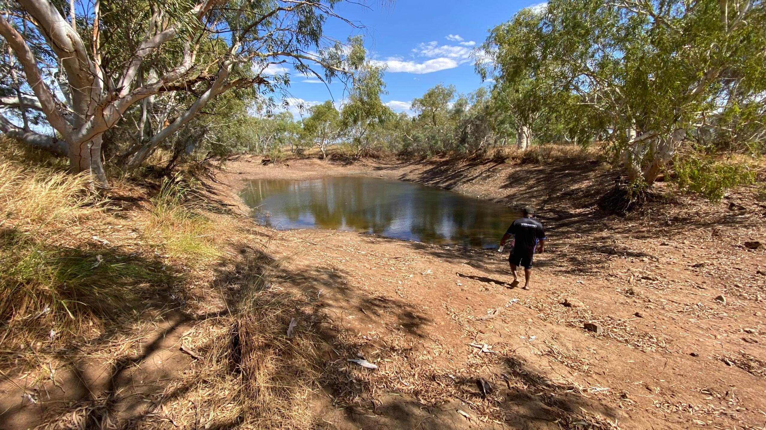
During these sessions, rangers and senior Elders used large-scale maps of the Pilbara coast as a focal point for discussion, identifying and speaking about places where they had observed significant environmental changes over their lifetimes. These conversations guided subsequent on-Country visits by researchers who observed these locations firsthand, to deepen their understanding of how the natural landscape had evolved.
“Scientists fly in and fly out of research areas, collecting data before leaving. First Nations people, however, live on Country, are great observers of nature and intimately understand how the environment has shifted,” Associate Professor Mick O’Leary.
“Satellite imaging of the Pilbara has produced comprehensive habitat maps spanning the past 35 years, however Traditional knowledge can provide an additional level of detail, including insights into the long-term environmental impacts of pastoralism, mining, and the development of dams and other infrastructure.”
Water availability and habitat loss due to climate and development were identified as major concerns, with Elders highlighting a rapid acceleration in changes over the last decade.
“The Mardudhunera and Yaburara People have observed surface water and flows along the Fortescue River changing dramatically and have observed these changes occurring faster in recent years, particularly during the last decade,” Associate Professor O’Leary said.
He said the process captured details that may otherwise be missed to create the scientific narrative.
“Taking the time to go on Country, to talk to Elders and listen to what they say is changing on their Country, and seeing these changes in parallel with western science, significantly enhances our understanding of the region.”
By combining first-hand observations, historical records, and scientific analysis, the project provides a broader environmental baseline, critical for understanding development impacts from Exmouth Gulf to Karratha.

