Data team collecting, checking and delving into historical records
While dozens of scientists working at Cockburn Sound are busy with field trips and laboratory work, a team behind the scenes is occupied with managing huge amounts of research data while also uncovering and collating crucial historical data to feed back to the projects.
Dr Alicia Sutton, who is part of the Western Australian Marine Science Institution Location Data Management Services team, said its role was to help with quality control on current data collection and locate historical scientific information to support the WAMSI Westport Marine Science Program’s 30 projects.
“With historical data, we collate data from as far back as possible,” Dr Sutton said.
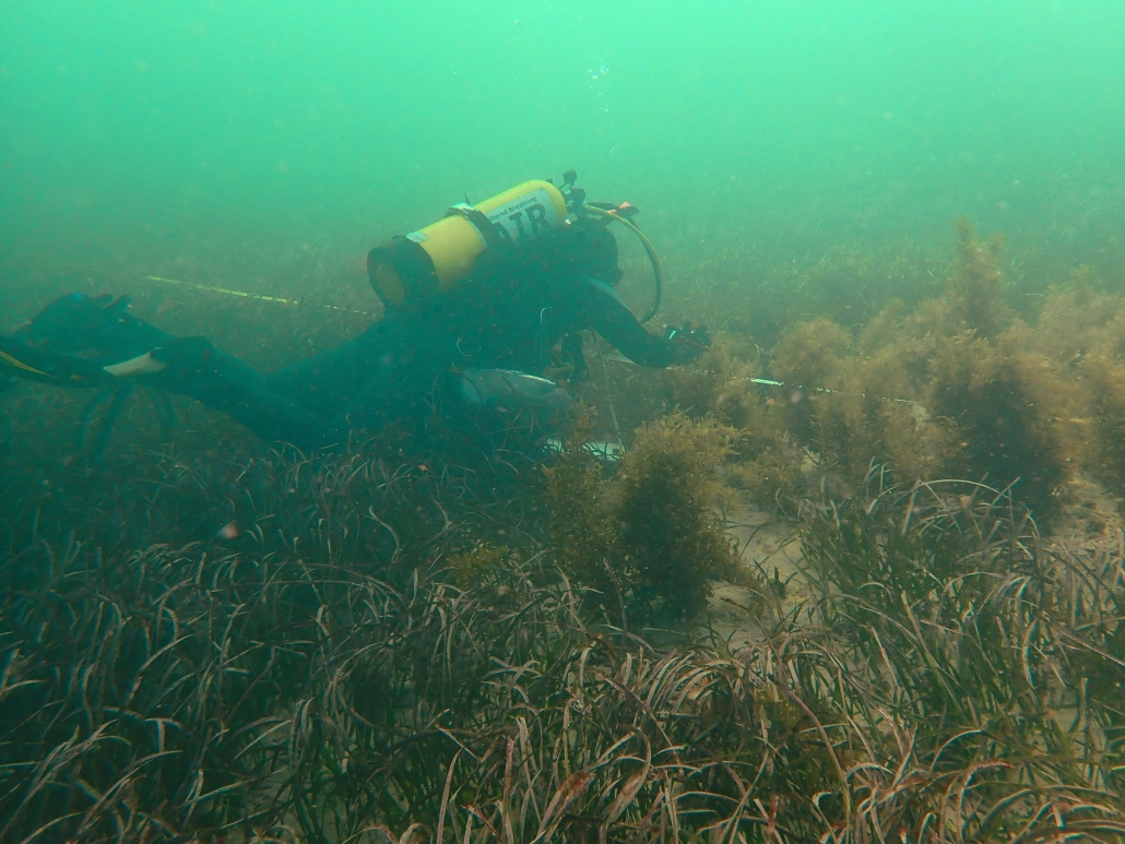
“One source of data has come from seagrass monitoring which has been collected by the Cockburn Sound Management Council for many years. This data has been provided to WAMSI researchers looking at seagrass in the Sound to provide context and allow for comparisons.”
Another example is collating data on beach profiles (measurements of the angles of the shoreline to look at variability in topography and slope) previously collected by local and State Government, which WAMSI researchers are using to understand shoreline movement across time.
“Water quality data has also been collated across industry and government bodies to help inform a water quality response model for Cockburn Sound as part of the WAMSI Westport Marine Science Program.”
Dr Sutton said collecting historical data had been challenging but it would have benefits beyond the current science program.
“In the case of data collected during the WAMSI Westport Marine Science Program, data will become publicly available and be accessible for the long term.”
“That is going to be really helpful for future projects and will allow researchers and other stakeholders to access relevant data easily, without having to contact multiple organisations and trawl through large volumes of reports,” Dr Sutton said.
The range of the data coming in from the projects of the WAMSI Westport Marine Science Program is broad. It includes spatially mapped data, photos and video footage, models, acoustic spectrograms, social surveys, laboratory and field experimental studies, biological surveys and more.
The data from the current science program, when combined with other available government and industry data has the potential to support the development of regionally specific products and science outcomes, including hydrodynamic and sediment transport models and integrated marine ecosystem biogeochemistry and ecological models.
Managing the data and keeping it safe is a big task.
Data is stored on a collaborative but secure WAMSI storage space as well as at the Pawsey Super Computing Research Centre.