Triaxus – One Ten East log
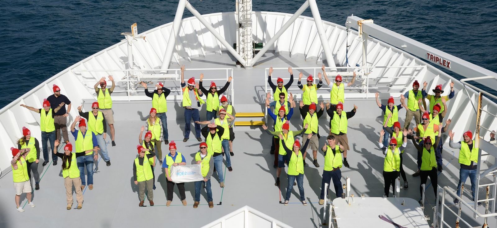
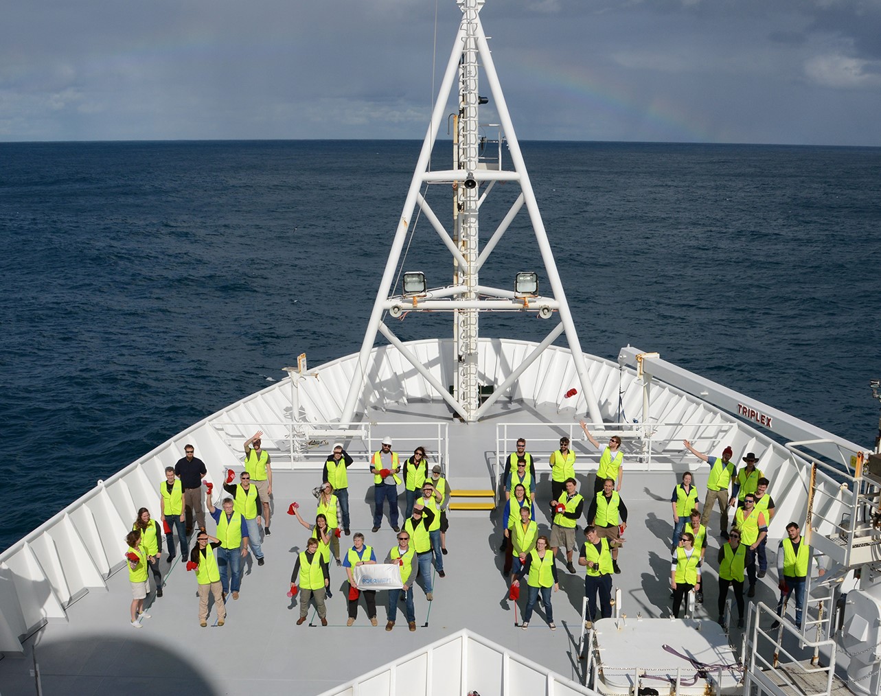
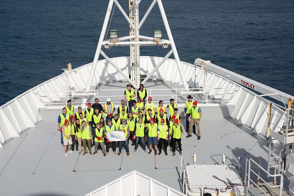
One Ten East Logs from the IIOE-2 voyage aboard RV Investigator will be posted on the WAMSI website during the month long voyage.
Log from One Ten East
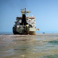
The RV Investigator is currently undertaking oceanographic research along the 110°E meridian off Western Australia as part of the second International Indian Ocean Expedition. The voyage is led by Professor Lynnath Beckley of Murdoch University and the research is supported by a grant of sea time on RV Investigator from the CSIRO Marine National Facility.
| Date: June 08, 2019 | Time: 1200 AWST |
| Latitude: 18°S | Longitude: 111°E |
| Wind direction: W | Wind speed: 5 knots |
| Swell direction: SSW 2m, S 1m | Depth: 4938 m |
| Air temperature: 23°C | Sea temperature: 26°C |
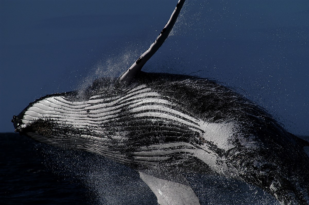
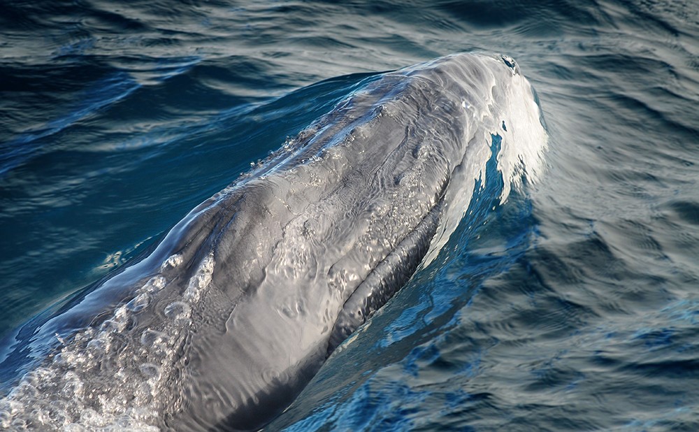
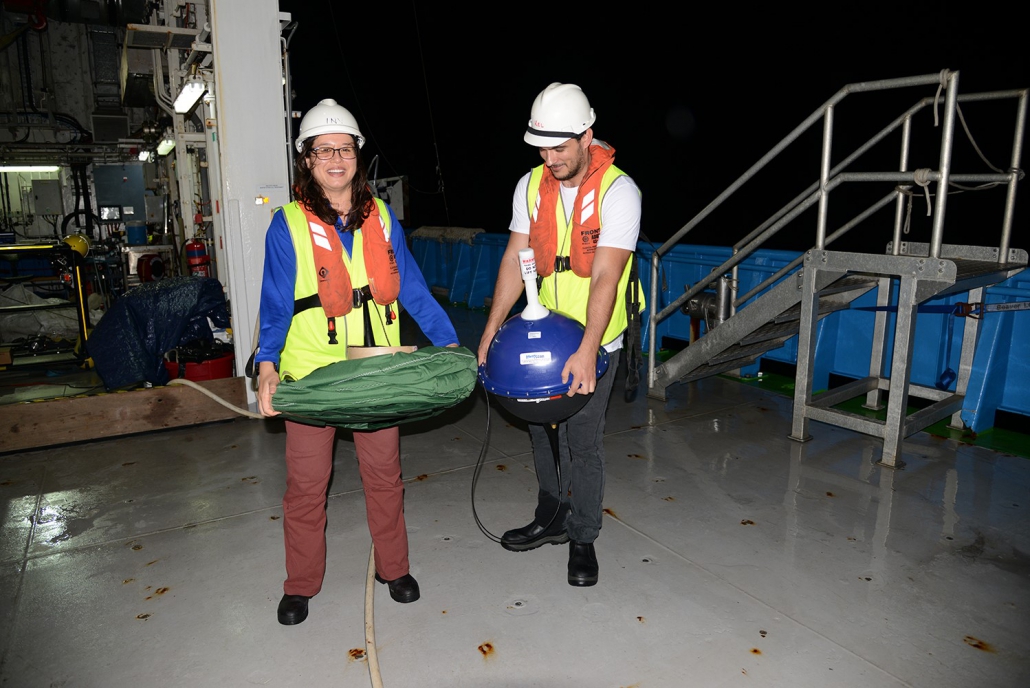
Notes: It’s World Oceans Day 2019! We had a special lunch in the marine-themed decorated mess. Dessert was a stratified layer cake complete with blue oceanic water, green chlorophyll maximum layer and the deep, dark ocean of chocolate! The students are now presenting their “3 minute thesis” about their research.
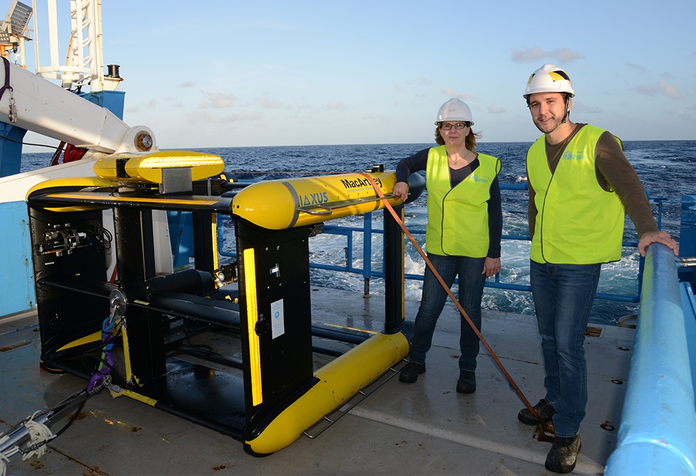
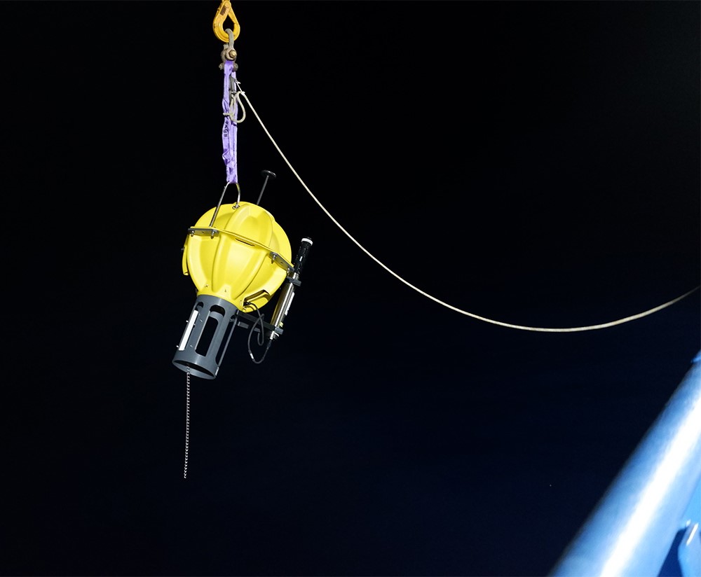
Triaxus
By Dr Helen Phillips
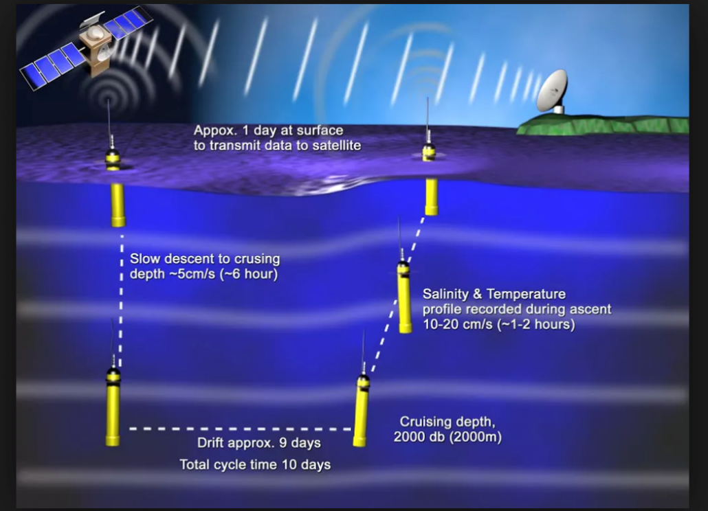
The ocean is never still. It warms by day and cools by night. Winds stir up the surface, mixing warmer surface waters with cold, deeper ones. Ocean currents bring waters from other regions and ocean eddies carry whole biological communities within their centres far from where they were first trapped inside the eddies.
RV Investigator moved slowly along the 110° East line because there were so many measurements to make at each station and they all took time. One station per day is what we could achieve to capture the physical, chemical and biological information we need to understand the major changes since the 1960s.
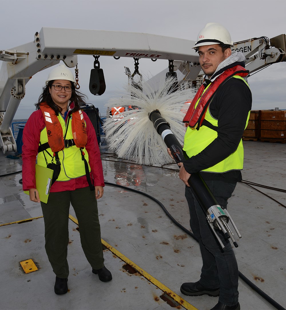
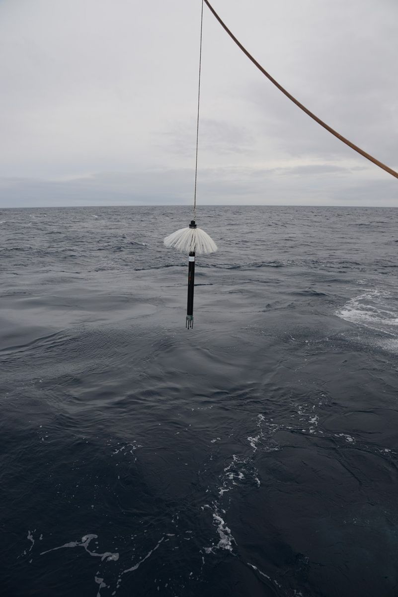
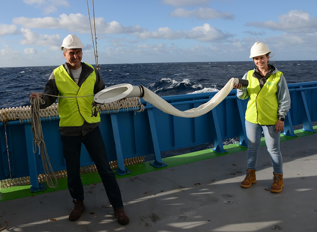
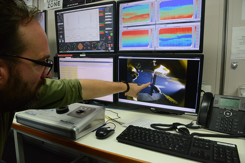
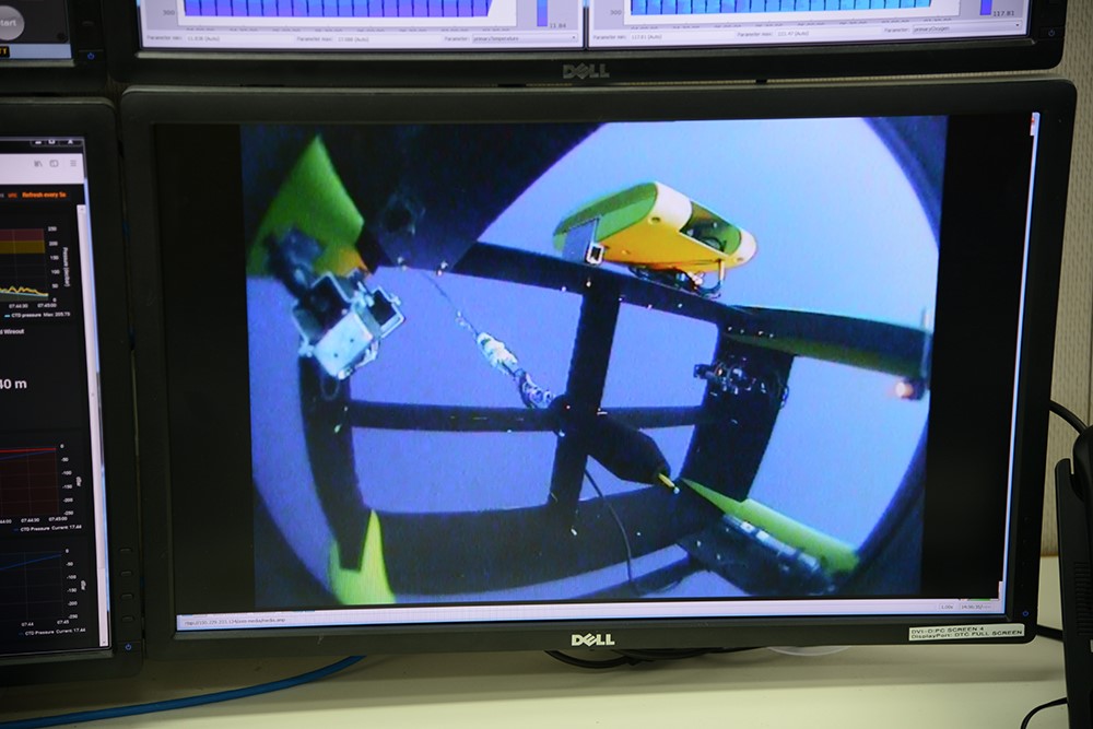
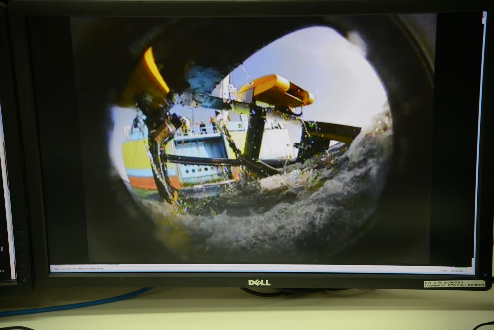
The rapid changes are also important and we use Triaxus to map these in a few places where we know there are fast currents with strong changes in water properties across them. Triaxus flies like a plane through the ocean, towed along behind the ship. It dives from the surface to 300 m depth and back to the surface in around seven minutes. As it flies, controlled by the electronics engineer on board, it measures ocean temperature, salinity, oxygen, nutrients and biological measurements. These variables can tell us how life in the ocean is influenced by ocean currents.
The focus for our Triaxus measurements are eastward currents called the Eastern Gyral Current and the South Indian Countercurrent. They carry waters from the Indonesian Seas and across the Indian Ocean into the coastal waters of Western Australia. The fisheries of WA depend on the nutrients supplied by these currents. Our measurements will help us understand what drives them and how they might change with global warming.